
RemoteSensing&EarthObservation
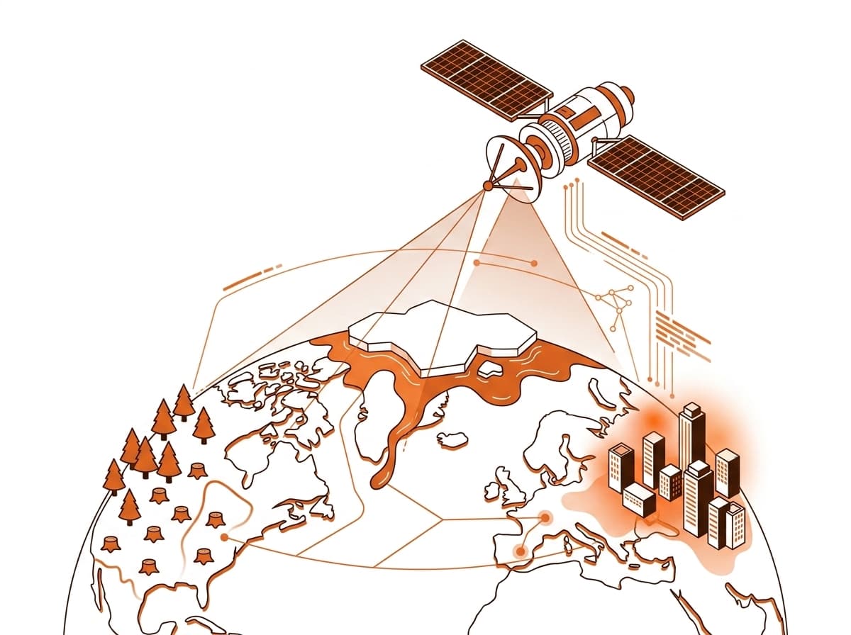
High-resolution satellite analytics, SAR interferometry, multispectral classification, and environmental monitoring for global insights.
Technical Deliverables & Modules
What this service includes.
01
Satellite Imagery
- High-res optical/SAR procurement
- Multispectral/Hyperspectral analysis
- Image orthorectification
02
Image Processing
- LULC mapping
- Change detection
- Crop classification
- EIA support
- Urban sprawl analysis
03
Photogrammetry
- UAV/drone surveys
- Orthophoto & DSM/DTM
- 3D point clouds
- Volumetric analysis
04
Climate Monitoring
- Vegetation indices (NDVI)
- Disaster risk assessment
- Soil moisture studies
- Climate change mapping
Need Remote Sensing & Earth Observation for your upcoming project?
Connect with our technical spatial team for a detailed scope, data specification, and delivery timeline.