
LandSurveying&GeodeticServices
Millimeter-level geodetic control networks, high-precision cadastral boundaries, engineering route alignments, and hydrographic charting.
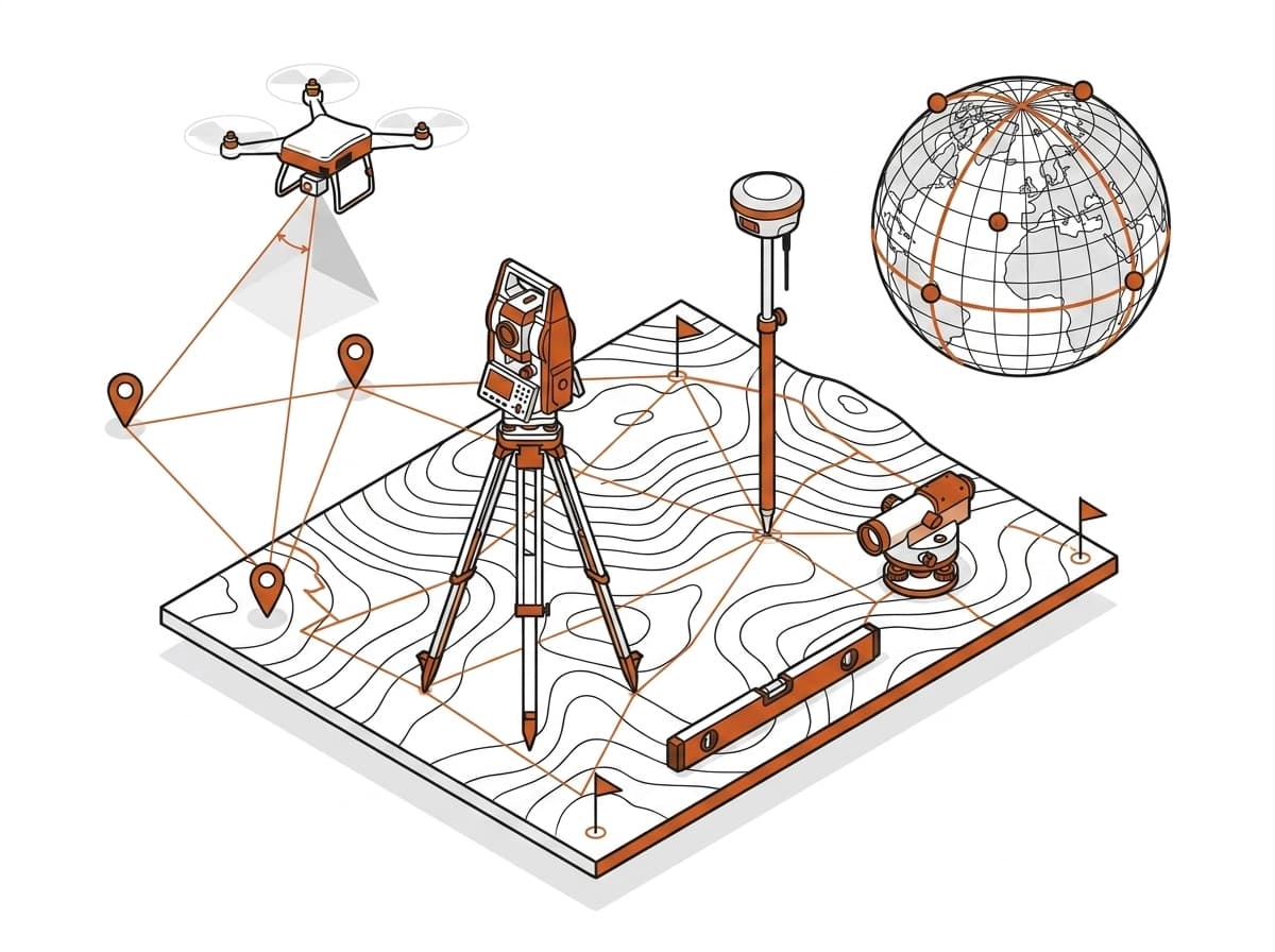
Technical Deliverables & Modules
What this service includes.
01
Control & Reference Surveys
- Horizontal/Vertical control networks
- GNSS static, rapid static, & RTK
- Geodetic benchmarks & pillars
- CORS integration
- Datum transformation
02
Cadastral & Boundary
- Rural & Urban land parcel mapping
- Demarcation of property/revenue estate
- Subdivision (Tatima) & amalgamation
- Tri-junction/Boundary pillars
- Legal dispute support
03
Topographic & Engineering
- Large-scale topographic surveys
- Contour generation & terrain profiling
- Route alignment (roads, canals, pipelines)
- Construction staking & as-built surveys
- Deformation monitoring
04
Hydrographic & Bathymetric
- River, canal, & lake surveys
- Cross-section & longitudinal profiling
- Floodplain & river morphology
- Sedimentation & dredging surveys
Need Land Surveying & Geodetic Services for your upcoming project?
Connect with our technical spatial team for a detailed scope, data specification, and delivery timeline.