
Enterprise GIS & AI Services
Empowering governments, enterprise organizations, and research institutions with precision spatial intelligence, high-resolution satellite remote sensing, UAV photogrammetry, and scalable WebGIS architectures.
EverythingYouNeedforGeospatial,Surveying&AIIntelligence
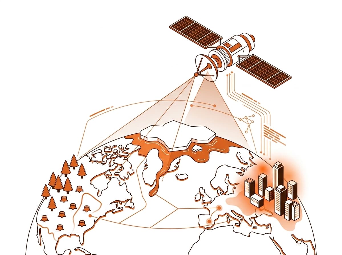
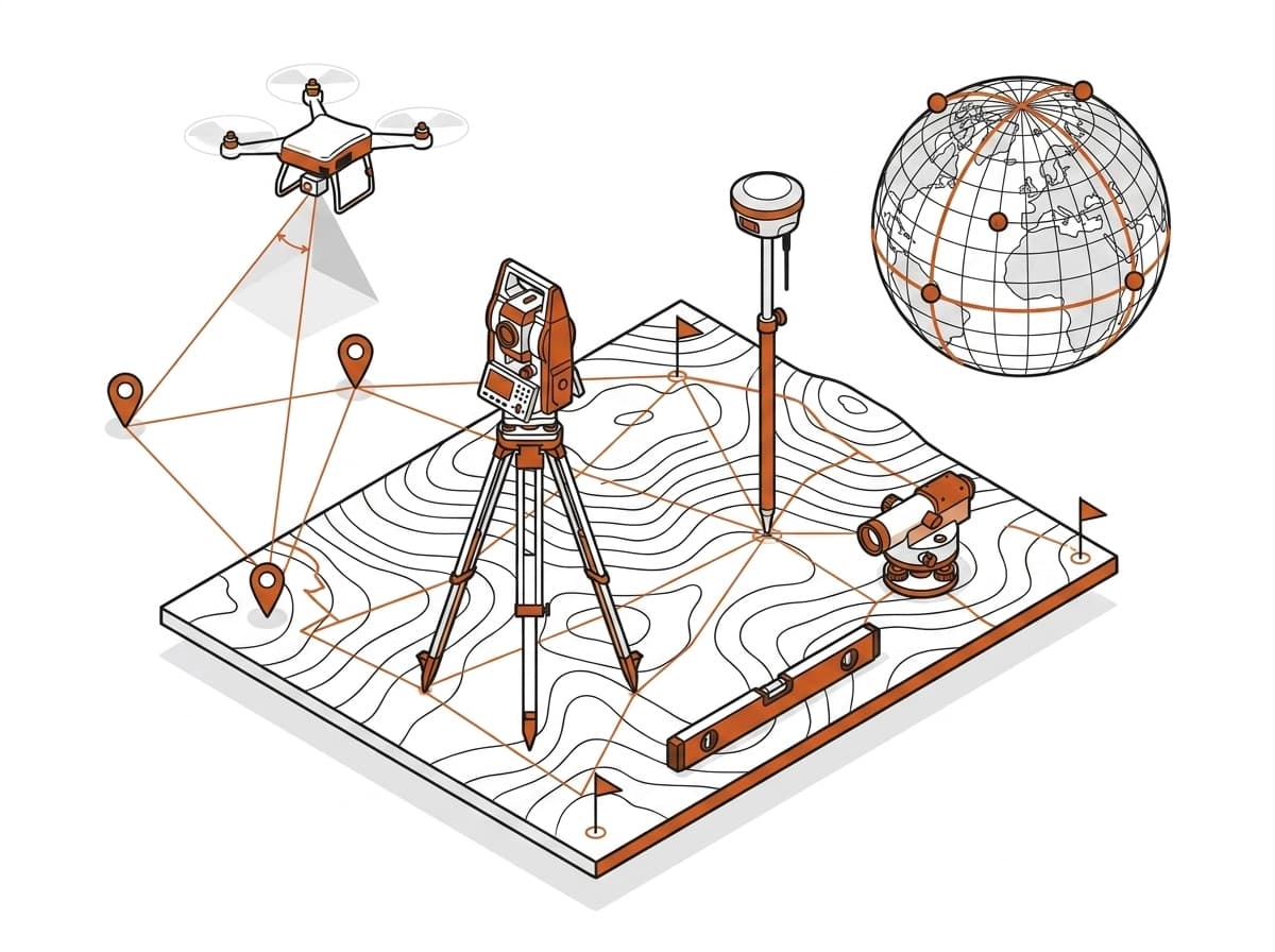
From satellite Earth observation to enterprise GIS architectures, precision geodetic surveying, and custom AI agents, explore our full suite of 11 specialized services.





Frequently Asked Questions
What makes GEOINFORMATIC Services one of the best GIS companies?
GEOINFORMATIC Services combines over 5+ years of verified field experience, 5,000+ km² of surveyed and mapped territory, ISO compliance, and a multidisciplinary team spanning Geodesy, Satellite Remote Sensing, Spatial Data Science, and AI engineering.
What kind of Geospatial AI solutions do you provide?
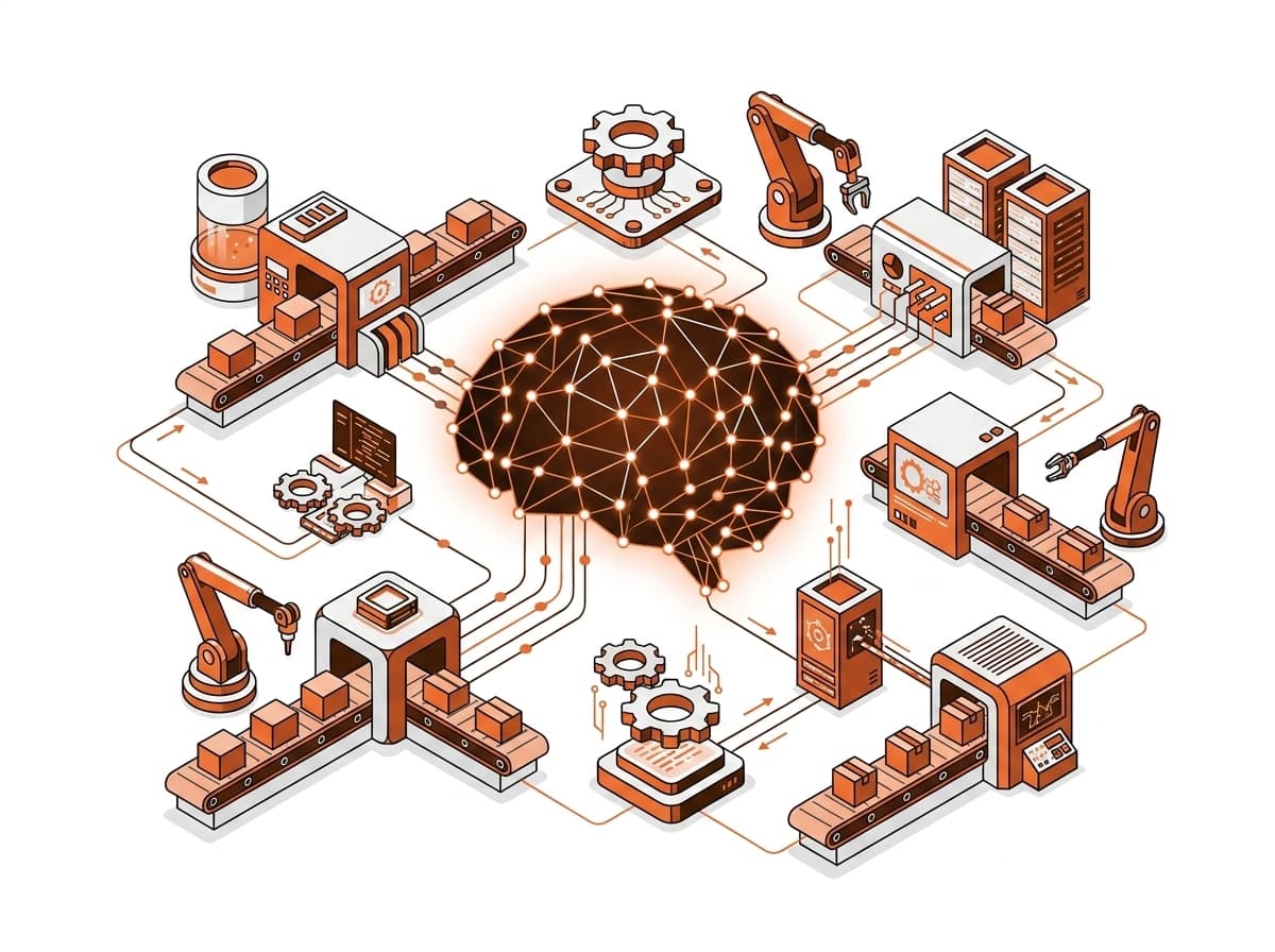
We build custom GeoAI models for automated feature extraction (building footprints, road networks), satellite change detection, crop yield estimation, land use land cover (LULC) classification, and automated spatial anomaly detection.
Do you provide drone (UAV) surveying and LiDAR mapping?
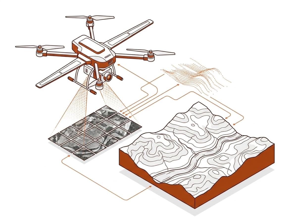
Yes. We deliver centimeter-accurate aerial photogrammetry, terrestrial and airborne LiDAR point clouds, digital elevation models (DEM/DSM/DTM), and volumetric calculations for construction, mining, and infrastructure corridors.
How do organizations partner or hire GEOINFORMATIC Services?
Organizations can request a free technical consultation via our Contact page (/contact) or hire vetted GIS talent through our global careers platform (/jobs).