
Environment&PrecisionAgriculture
Satellite-driven precision farming, crop health & NDVI analytics, watershed modeling, and natural resource conservation.
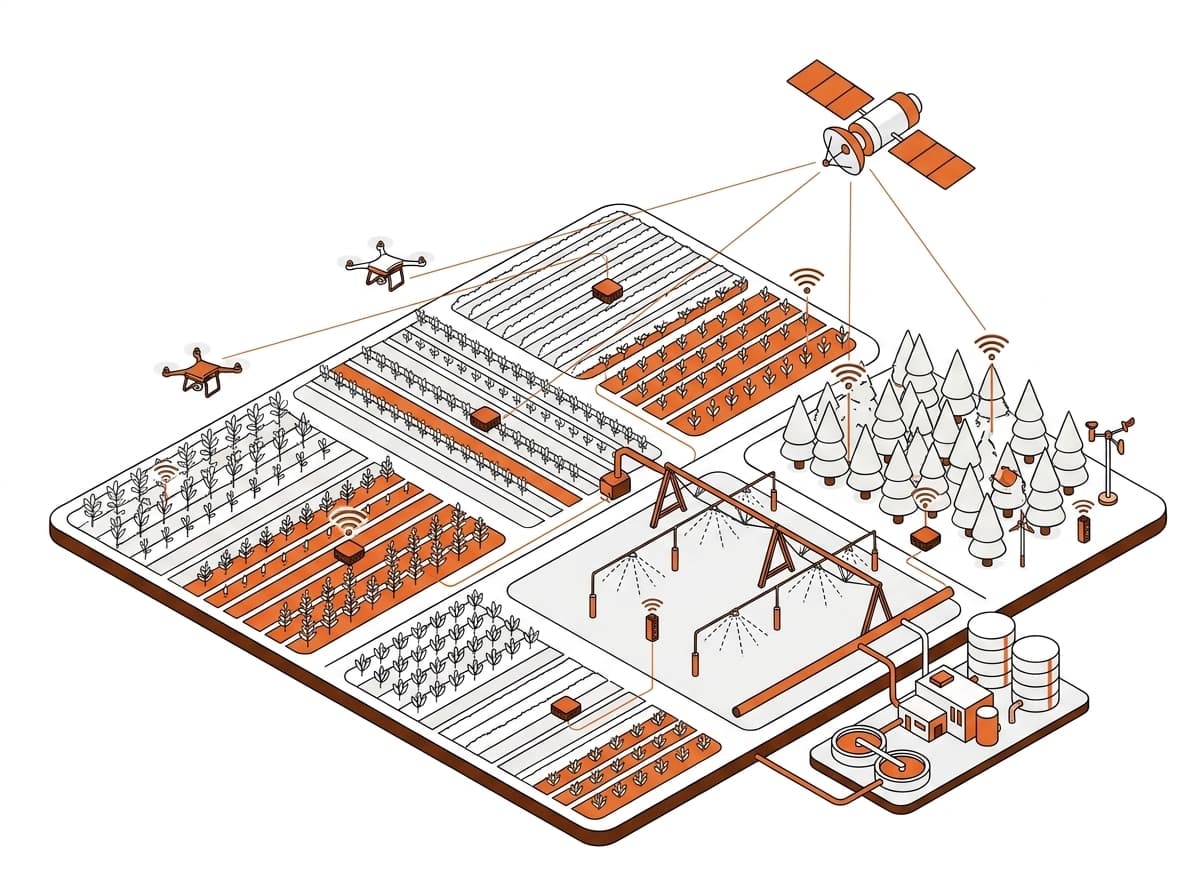
Technical Deliverables & Modules
What this service includes.
01
Agriculture & Food Security
- Crop monitoring & acreage
- Precision agriculture
- Irrigation mapping
- Soil fertility analysis
02
Forestry & Wildlife
- Forest inventory & biomass
- Wildlife habitat mapping
- Deforestation monitoring
03
Water Resources
- Watershed analysis
- Groundwater mapping
- Flood modeling
Need Environment & Precision Agriculture for your upcoming project?
Connect with our technical spatial team for a detailed scope, data specification, and delivery timeline.